Home / japan / Places Affected by the Earthquake and Tsunami (Big size map)

Places Affected by the Earthquake Tsunami, Map (Big size map)

<< All map  

Map of Affected Ares by Earthquake and Tsunami hit the Japan in march 2011
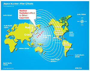
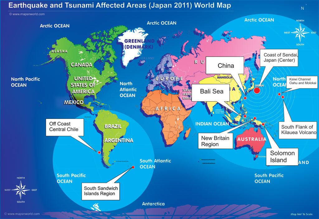
Coasts of Honshu, Japan, Bali Sea, New Britain Region, Solomon Island, Off Coast of Central Chile, Sandwich Islands Regions, South Flank of Kilauea Volcano, Oahu and Molokai. (According to Pacific Tsunami Warning Center)

Nuclear Radiation effectNuclear Radiation Effects, Japan

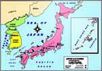
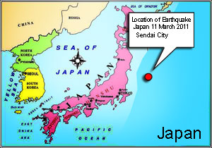
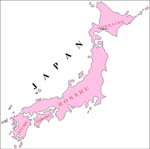
Map of Places affected by Earthquake and Tsunami 2011
Areas affected Earthquake and Tsunami hit the Japan March 2011

Japan Political Map
Japan Political map

Location map of Earthquake in japan
Earthquake Location map of japan 2011

Japan Outline map
Japan Outline Map

Japan FlagFlag of Japan


Sitemap